A Whole Lot of Lava
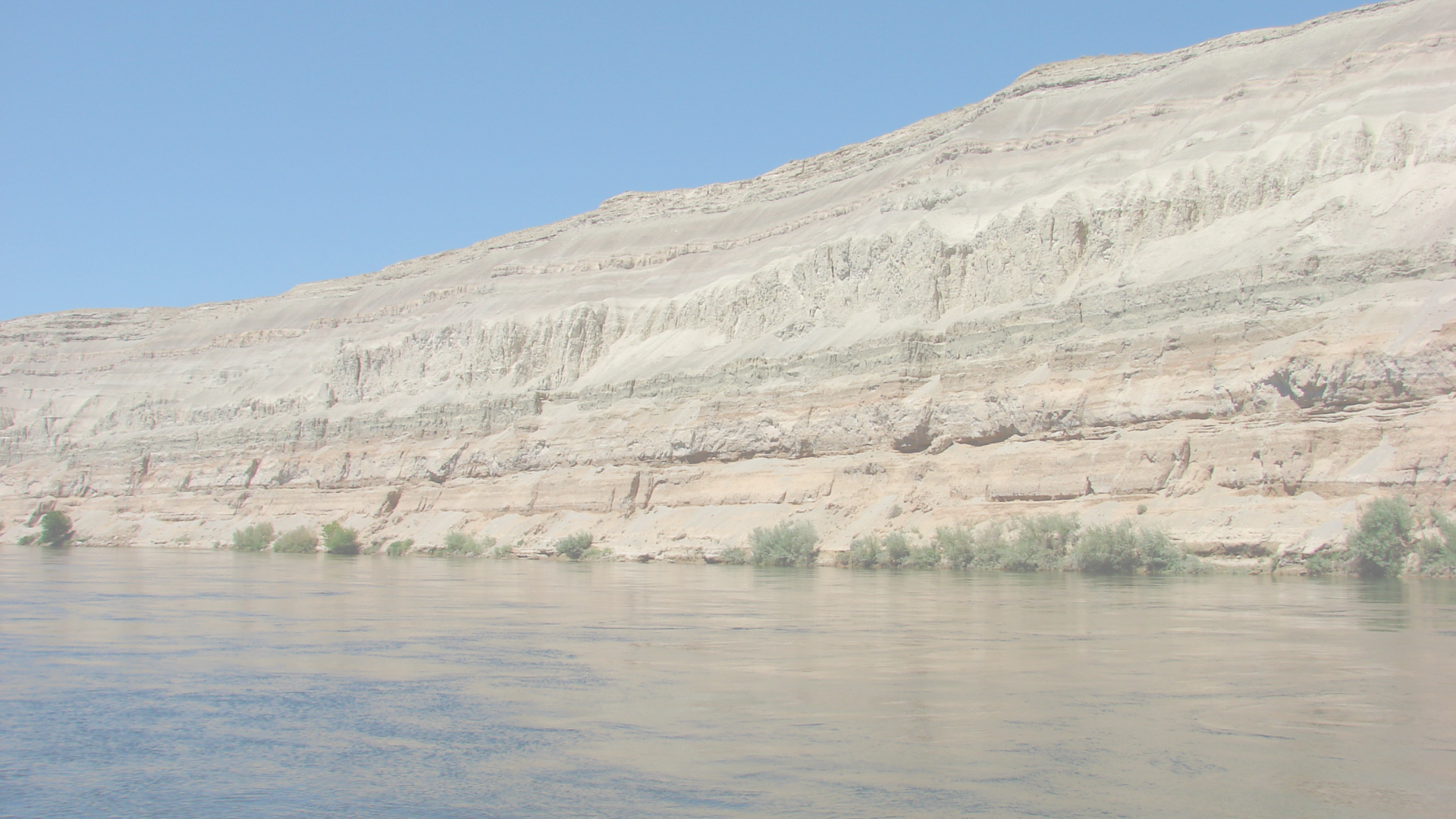
Walk into our museum’s Gallery 1 and the first thing you’ll see is a gigantic image of lava. That’s because the surface of southeastern Washington is covered with a thick layer of basalt from the largest known lava flows on earth. Between 17 million and 6 million years ago, a hot spot deep in earth’s mantle caused numerous plumes of magma to make their way through the crust to the surface. Lava poured through cracks and slowly spread out for 70,000 square miles (181,300 square kilometers), filling the river valleys and creating a heavy layer of rock from the Bitterroot Mountains in Montana all the way to the Cascades in Western Washington. The basalt layer is up to 11,000 feet (3353 meters) thick in some places.
Geologists have identified hundreds of different lava flows in this area based on the chemical composition of the rocks. They use similar active lava flows in Hawaii to understand how Columbia River basalts formed. As the lava cooled and solidified over hundreds of years, the material shrank slightly, causing cracks to form. You can see the resulting hexagonal columns and other formations in many places throughout eastern Washington, wherever erosion has revealed them. Where lava contacted water, pillow-shaped basalts formed.
Life Among the Flows
The “floods” of lava engulfed some plants and animals, and the resulting fossils can reveal information about what conditions were like at that time. Trees that grow in a warmer, wetter climate than our current one are found petrified in various Columbia River basalts. Small deposits of coal indicate warm, swampy conditions with abundant plant life. And volcanic ash layers between flows are signs of the erupting Cascades volcanoes nearby.
Rising Mountains and Sinking Basins
Sometime between 40 and 20 million years ago, long before the lava flows, numerous rivers draining the northwest converged into one path through the rising Cascade Mountain range. This path eventually became the Columbia River. Lava flows repeatedly covered the river and changed its course slightly, but with the power of erosion, the Columbia continued on its path to the Pacific Ocean.
A combination of tectonic forces in the Columbia Basin, including the heavy weight of the thickest layers of basalt near the Hanford Reach, are causing uplift along the northwest to southeast line of the Yakima Fold Belt, which includes Rattlesnake Mountain. This fold belt is a wrinkle in the earth’s crust, and the wrinkle is being pushed up as the basalt is pushing down nearby.


