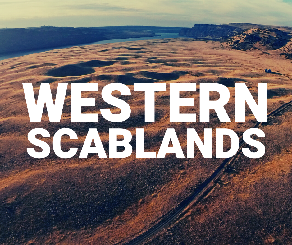
In the 1920s, J. Harlen Bretz was the first to coin the term scablands as a variety of channels and rock basins eroded into the native basalt rock of the region. He argued that massive flooding in the past caused the scablands and in the 1950s, his theories were finally vindicated.
“They could not be more erratically and impossibly designed.”
More than 40 cataclysmic floods over the last two million years caused the channeled scablands of Eastern Washington. The last flood occurred between 18,000 and 14,000 years ago when a glacial dam failed and ancient Lake Missoula in Montana swept across Idaho, Washington and followed the Columbia River into the Pacific Ocean.
This tremendous water flow was 10 times that of all of the modern rivers of the world and several hundred feet deep. The huge surge of water filled and then moved across normal stream and river valleys. The existing drainage patterns were ineffectual, creating a 100-mile wide pattern of braided channels. Where the water flowed deep and fast, it tore away soil and underlying volcanic bedrock, leaving behind the coulees and scablands seen today.


