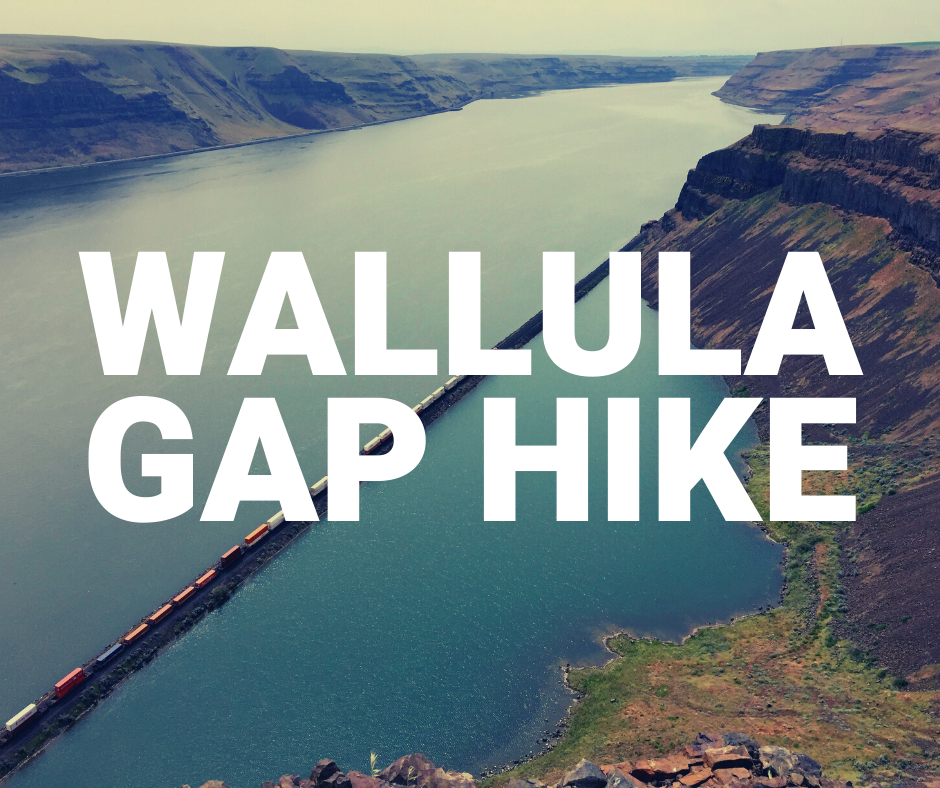
When the waters from Lake Missoula swept across Eastern Washington; the channeled scablands led the water into Pasco Basin and escaped out of a single outlet before filling the Columbia Basin Gorge.
THE NARROW PASSAGE
Since all of the floodwaters had to pass through such a narrow passage, a huge lake formed behind Wallula Gap extending to a surface area of approximately 4,500 square miles and a depth of about 900 feet.
Although Lake Lewis was only a temporary lake, boulders of various sizes, visible today, highlight the power and size of the Ice Age floods. These iceberg-carried erratics, including granite and diorite, stand out compared to the dark basalt native to the region.


